Geohistory is the study of a double relation, of nature to man and of man to nature, the study of action and reaction, mixed, confused, repeated endlessly in the reality of each day.
Fernand Braudel, “Géohistoire: la société, l’espace et le temps“
It is indeed the quality, the power of this effort that forces us to reverse the usual approach of the Geographer.
This quote by Fernand Braudel (founding father of contemporary géohistoire) finds a new expression in digital humanities thanks to outcomes of GIS software.
The Jesuit Maps project aims to make interactive maps available using research in the field of Jesuit Studies conducted by international scholars, IAJS’ in-residence fellows, and Boston College students. These interactive maps will enrich the experience of the Portal’s users by providing them with new digital tools through which they can access the history of the Jesuits and the world of Jesuit studies.
Jesuit Maps is the result of a collaboration between IAJS and the Collaborative Digital Projects Lab (CDPL) of Boston College Digital Humanities Projects and is part of the “World Description and Travel” project edited by Dr. Bee Lehman.
Projects

Jesuit Martyrs in India
This story recounts the lives and martyrdoms of Jesuit missionaries in India from the 16th to 17th centuries, highlighting their dedication, faith, and sacrifices. It details the biographies and deaths of figures such as Ludovico Mendez, Antonio Criminali, Francisco Lopez, Rodolfo Acquaviva, Francisco Aranha, Pietro Berno, Alfonso Pacheco, Henrique Henríquez, and João de Brito. – Sabina Pavone
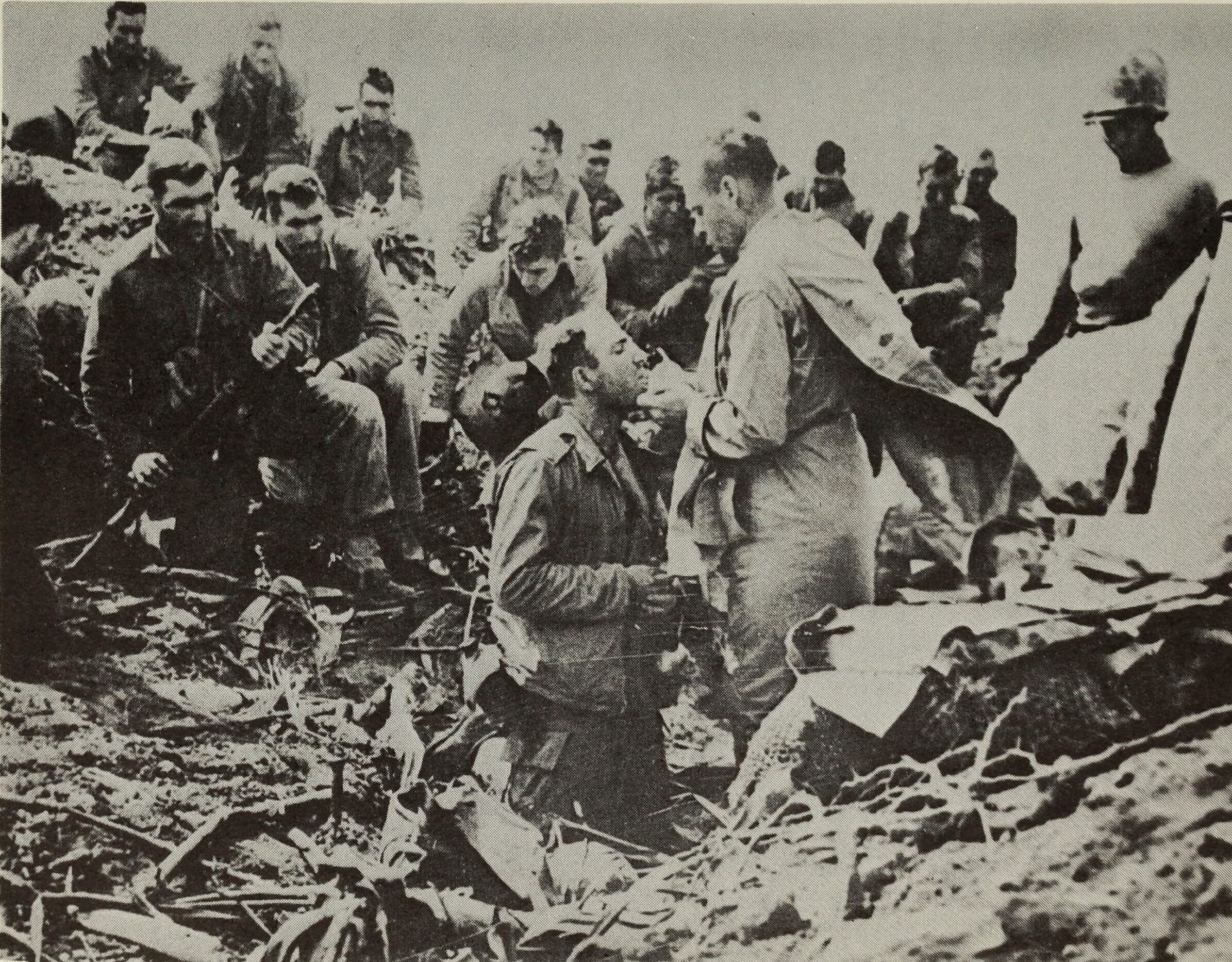
Jesuit Military Chaplains of U.S. Assistency
A research database of Jesuit military chaplains of the U.S. Assistancy, documenting service in World War I, World War II, and the Korean War with locations, dates, and biographical data. – Alessandro Corsi
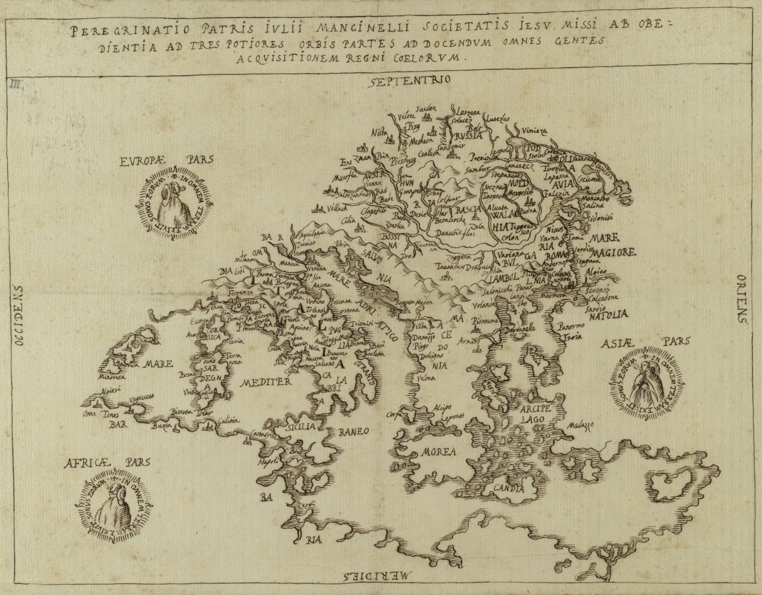
Giulio Mancinelli, a Jesuit in the Ottoman Empire
Mancinelli joined the Society of Jesus in 1558, in Loreto, and subsequently, he started his missionary activity in Italy. However, in 1575 pope Gregory XIII sent him to the Republic of Ragusa (Dubrovnik), while in 1583 he appointed Mancinelli to establish the first Jesuit mission in Constantinople, which lasted for about three years. – Silvia Notarfonso

Our Indies: Italian Missions during the Suppression of the Society of Jesus (1773 – 1814)
During the Suppression of the Society of Jesus some ex Jesuits, following the directions of José Pignatelli, preached missions in cities and countryside throughout the Italian peninsula. The interactive map shows the itinerary and describes each missions. – Emanuele Colombo
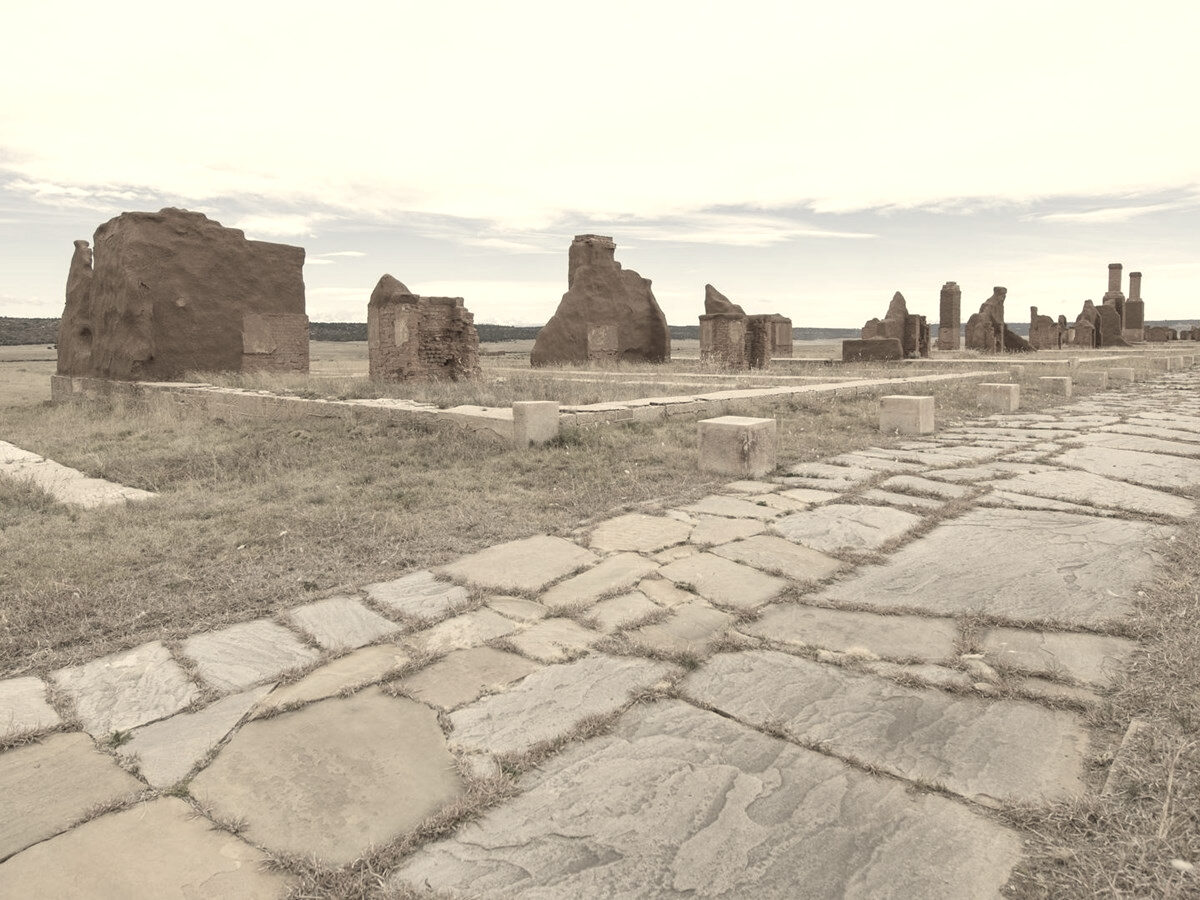
Neapolitan Jesuits in New Mexico and Colorado (1867–1919)
Discover the hardships of the journey from Europe to the South West suffered by the displaced Jesuits of the Neapolitan province in the second half of the 19th century, and explore the full extent of the mission in New Mexico and Colorado through the interactive map. – Claudio Ferlan
Tools
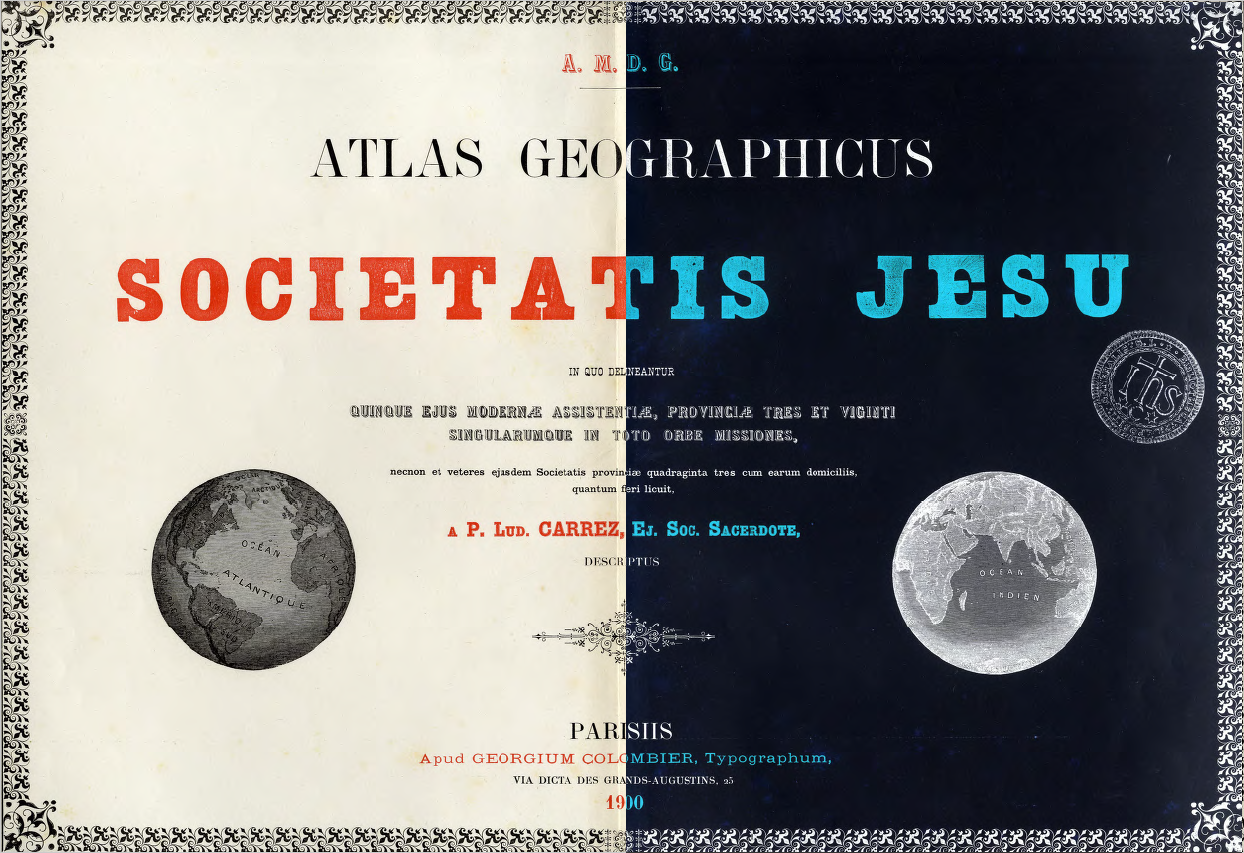
Atlas SJ 2.0
Discover on the interactive map the organization and development of the assistancies and provinces of the Society of Jesus from its origins until the end of the 19th century, by exploring the Atlas Geographicus Societatis Iesu (1900) by P. Ludwig Carrez SJ.

Jesuits and Arts Around the World
JAAW aims to represent the network of people working with contemporary arts, what institutions dealing with arts can be found in one Assistance, or what collections is the Society responsible for worldwide.

Jesuit Domiciles
In 1892, French Jesuit Alfred Hamy’s produced a catalogue of the1600+ domiciles owned by the Society from 1540 to 1773, organized by assistancy, province, type and toponym (in Latin and nineteenth-century French vernacular). In addition to reproducing Hamy’s original catalogue, this resource provides the current name and geolocalization of each domicile and makes all the data accessible in a searchable database and visualizable in a digital map.